Topographical Planning
- Development of topographic plans and maps for each type of scale
- Also designing and planning of underground and overground communication lines
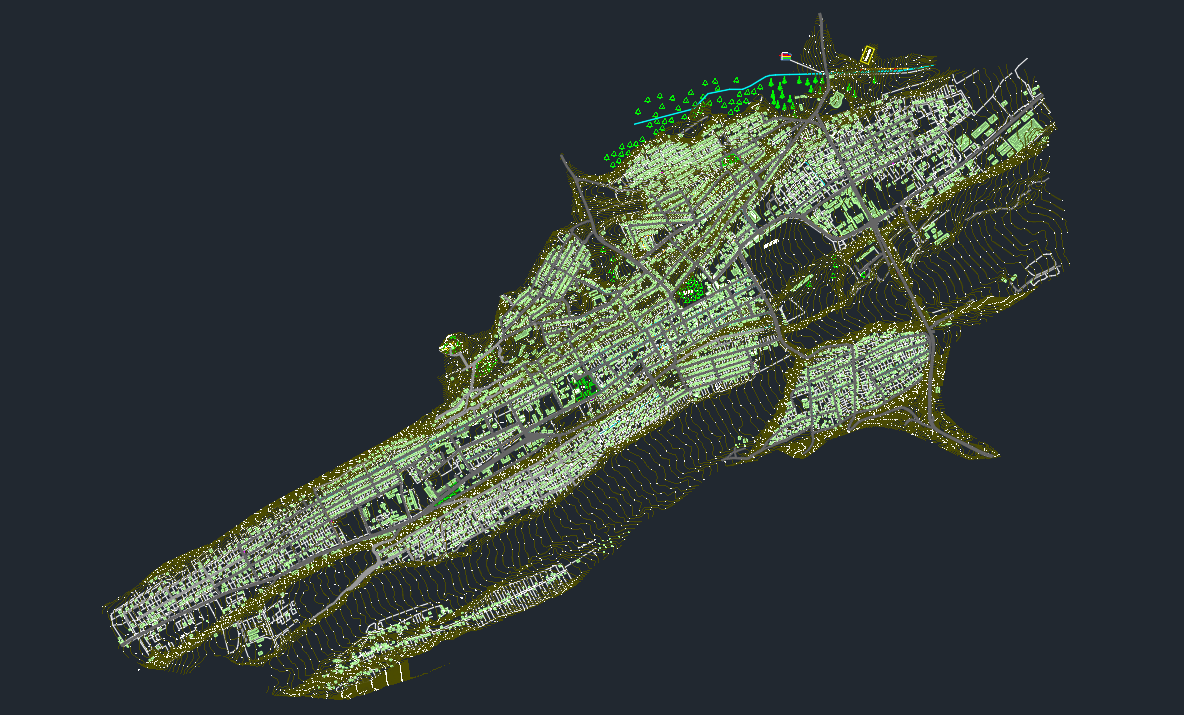
Generation of local GIMs
- Creation of geodetic points of local importance for construction works and calculation of their coordinates and elevation networks.
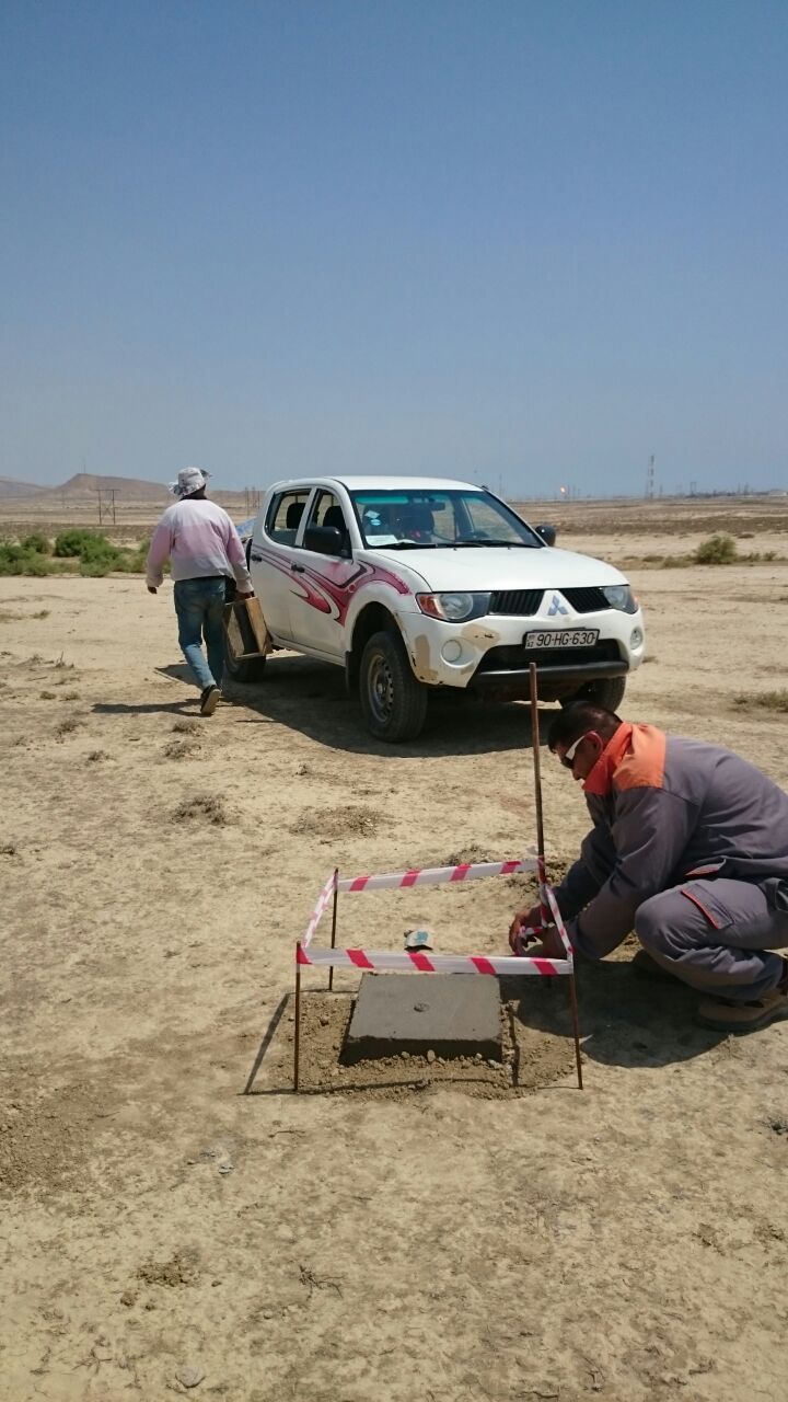
- Additionally, establishment of ground control points (markers) for photogrammetric works.
Support and monitoring of construction
- Designation of the location of foundations and columns of high-rise buildings, complex projects, industrial structures such as warehouses, factories, plants and power plants, determination of the heights, carrying out drilling and filling works according to the project, high-precision installation of steel structures
- Transformation and relocation of existing building and construction projects into a coordinate system adopted by state bodies
- Monitoring of landslides and collapses of all types of buildings


3D space system modelling
Development of 3D models by creating point clouds using a laser scanner and UAV as well as three-dimensional and two-dimensional plans for the renovation of the interior of buildings and structures, especially the facades of historic buildingsGIS
- Development of various, including local, municipal and global Geographical Data Base
- Organization of the geographical data base's integration into other allowed data systems
- Three Dimensional (3D) Modelling and Simulation

UAV (DRONE)
- Obtaining sensitive and fast orthographic images of large areas with an UAV
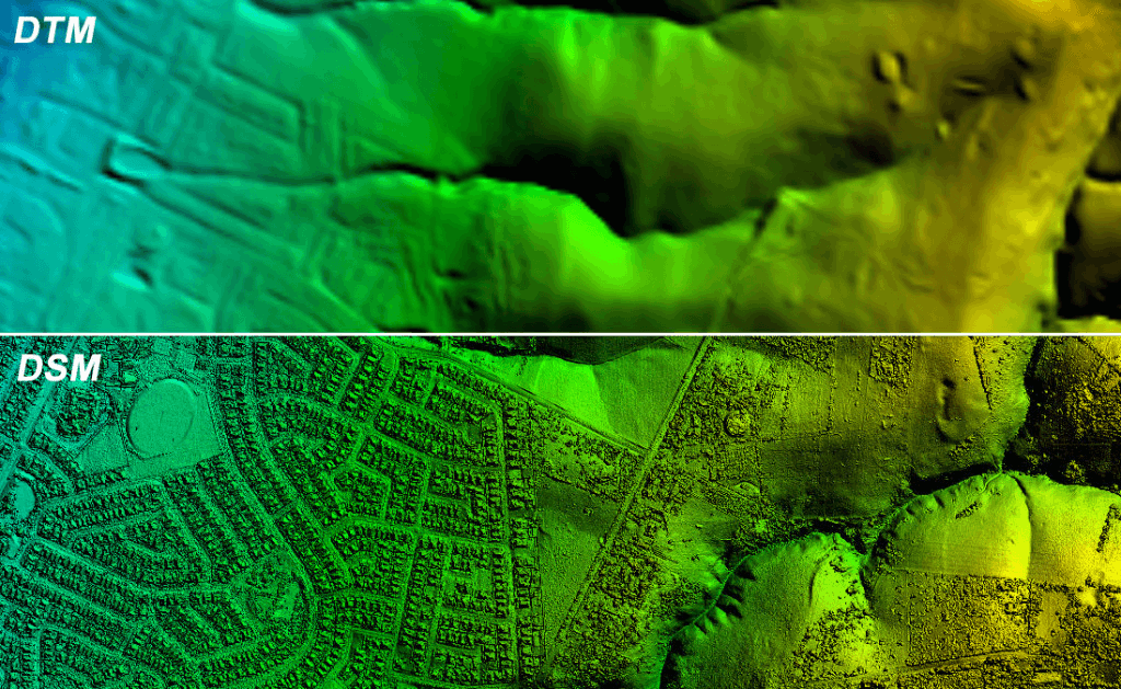
- Also development of DTM and DSM for digital elevation model of areas via an UAV
- Fast obtaining and processing of point cloud data for all natural and artificial objects in the area with UAV LIDAR technology with high-precision